- Standard supplied with a global base chart, with optional C-MAP 4D chartting support
- IP67, designed for rough marine application
- Pinch-to-zoom with multi-touch
- Hi-res sunlight readable display
- Backlit waterproof button and arrow keys
- Dual Micro SD card slots
- NMEA 2000 & NMEA 0183
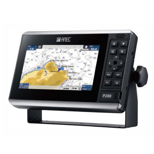
- Description
| P200-SO | P200-CS | |
|---|---|---|
| VHF Transceiver | ||
| Frequency Range | IEC 61108-1 Ed.2: 2003 IEC 60945 Ed.4: 2002 ITU-R M.1371-5, 2014 |
|
| Access Scheme | SOTDMA | CSTDMA |
| Tx Output Power | 1W or 5W (30dBm or 37dBm +/- 1.5dB) | 2W (33dBm +/- 1.5dB) |
| Receive Sensitivity | better than -107dBm @ 20% PER | |
| GNSS Receiver (integrated) | ||
| Receiving Channels | 72 channels | 50 channels |
| Position Accuracy | IEC 61108-1 compliant | IEC 61108-1 compliant |
| Time to First Fix | < 60s | < 60s |
| LED Display | ||
| Display Size | 7 inches | |
| Screen Brightness | 850 nits | |
| Display Resolution | 1024x600 | |
| Connection Interface | ||
| VHF Antenna Connector | SO-239 (female) | |
| GPS Antenna Connector | TNC (female) | |
| NMEA 0183 Connector | 12 pins (with 8 wires connecting to external device) | |
| NMEA 2000 Connector | 5 pins, standard connector LEN=1 | |
| Ethernet Port (cable w/RJ45) | Optional | Optional |
| Wi-Fi Connectivity | Optional | Optional |
| Environmental | ||
| Operating Temperature | -15°C to +55°C | |
| Waterproof Rating | IP67 with SD card door closed | |
| Power Supply | ||
| Power Input/ Current (Max) | 12-24 VDC / 1.1-0.7A max | 12-24 VDC / 2.3-1.9A max |
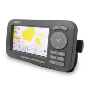
Related Products